The view from the Pittock Mansion gardens in Portland
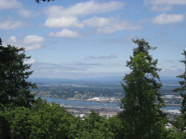
Pittock Mansion is nestled high in the West Hills of Portland - 1000 feet above the skyline.
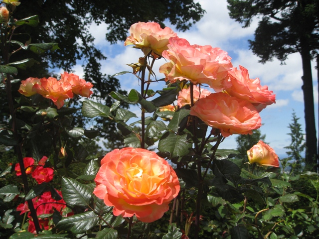
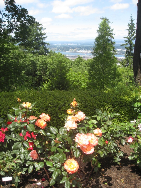
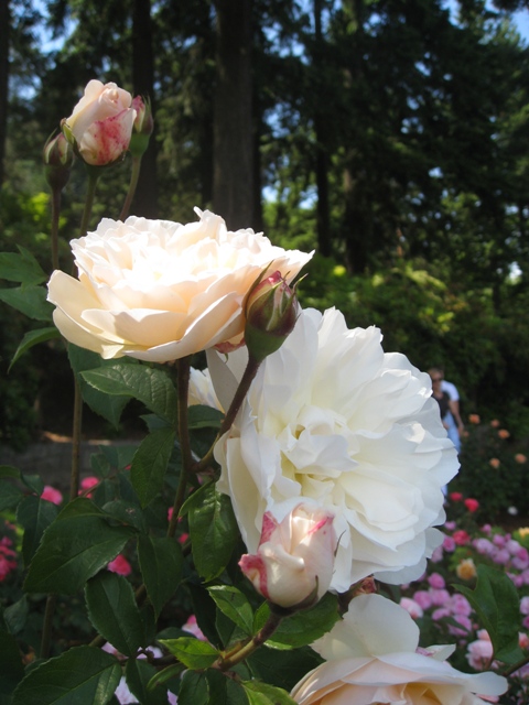
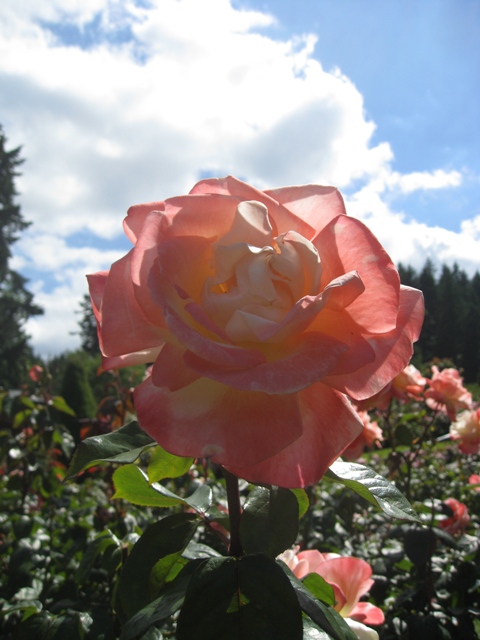
Perfect timing for the roses in bloom here at Pittock Mansion
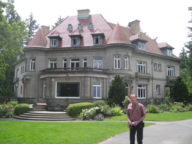
A view of the back of Pittock Mansion with Dennis - this is a French Renaissance ch‚teau originally built as a private home for The Oregonian publisher Henry Pittock and his wife, Georgiana.
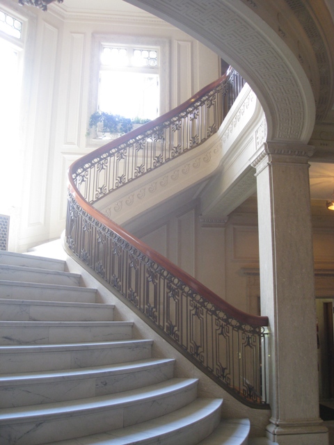
The beautiful grand staircase - very cool railing and great wood work and marble stairs.
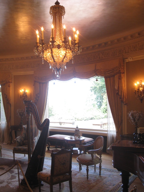
The music room with the gorgeous picture window that looks out over the garden and the view of Portland.
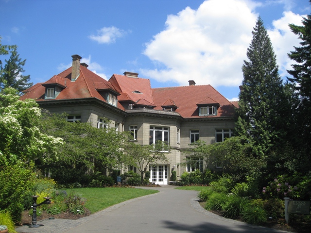
The front of Pittock Mansion.
Washington Park in Portland - With over 400 acres of trees, gardens, attractions and playgrounds and 15 miles of trails, this is an oasis of green space just minutes from downtown Portland.
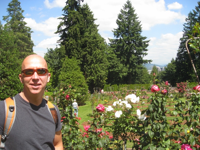
The International Rose Test Garden in Washington Park is the oldest official, continuously-operated, public rose test garden in the United States. It currently displays more than 7,000 rose plants of more than 500 varieties.
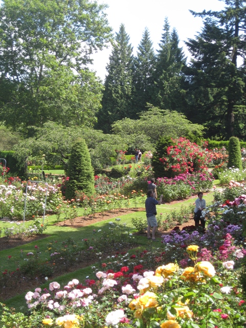
AS I said before, it was perfect timing for roses.
Rose Garden at Washington Park in Portland.
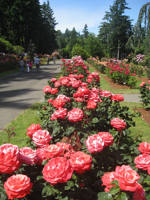
Rows and Rows of Roses.
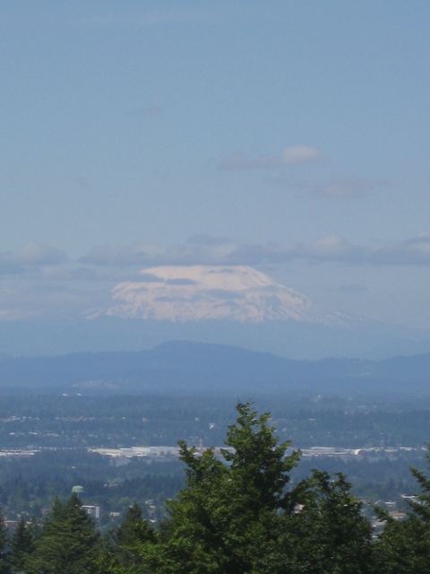
Mt Rainier from Portland
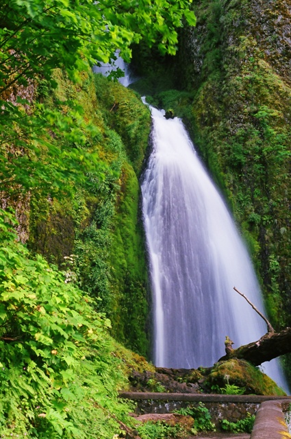
Wahkeena Falls.
Wahkeena Falls.
Dennis at Wahkeena Falls.
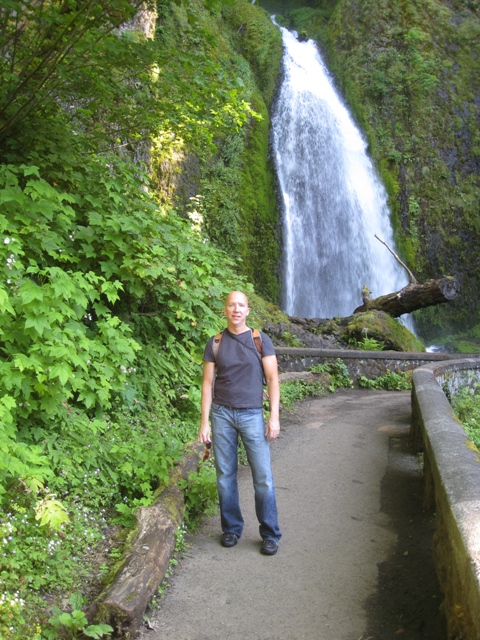
Tom at Wahkeena Falls.
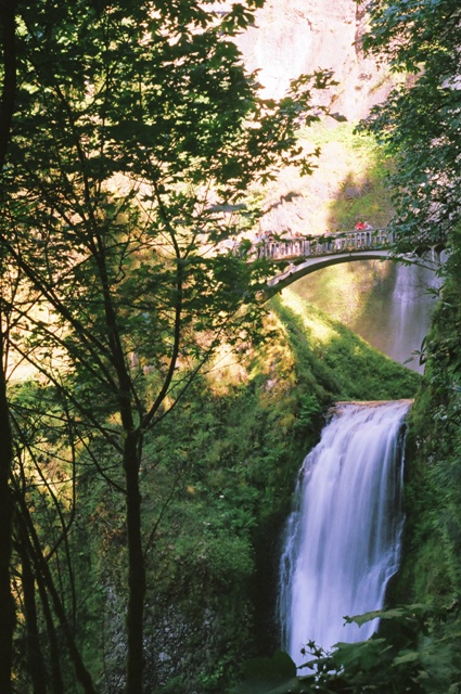
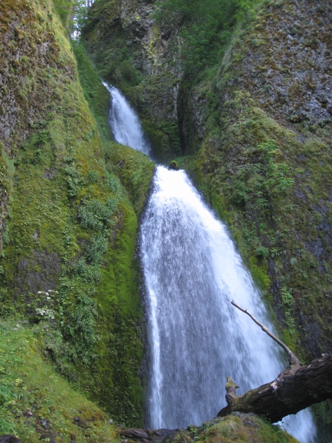
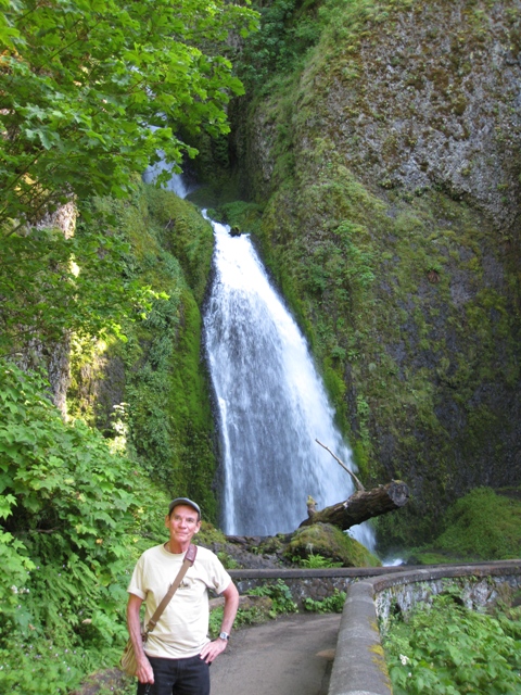
Multinomah Falls.
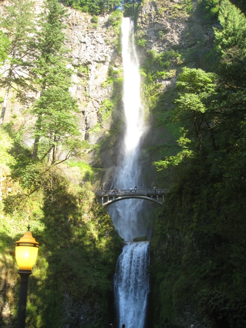
Multinomah Falls.
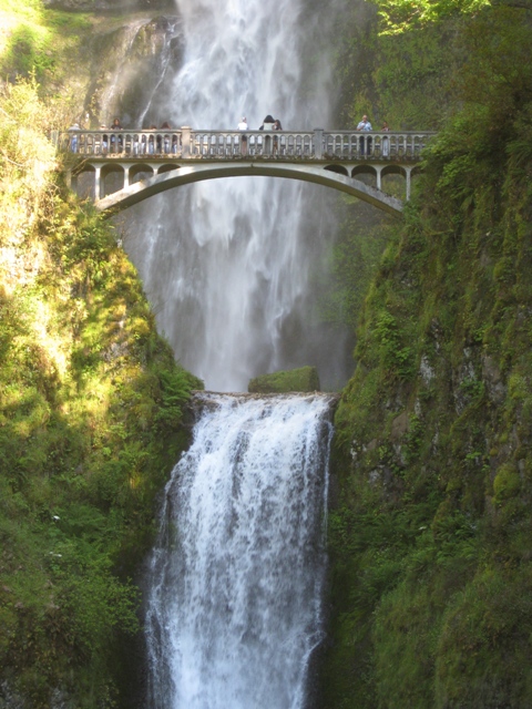
Multinomah Falls.
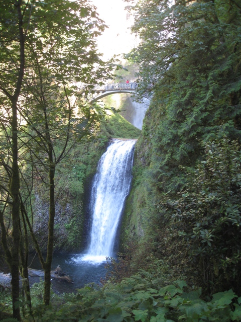
Multinomah Falls.
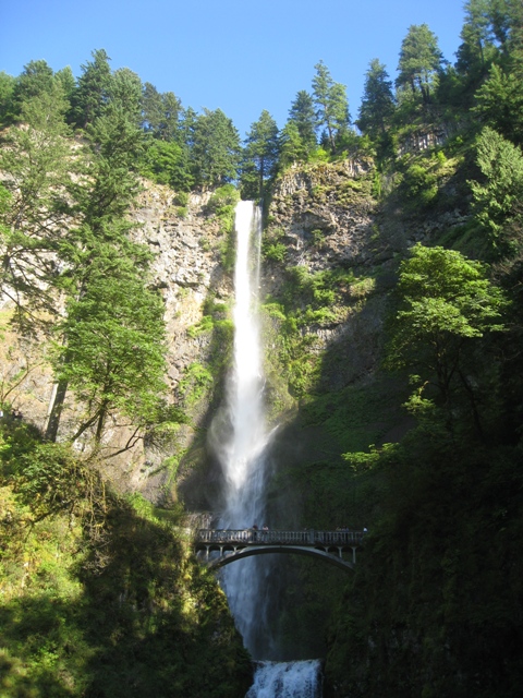
Multinomah Falls.
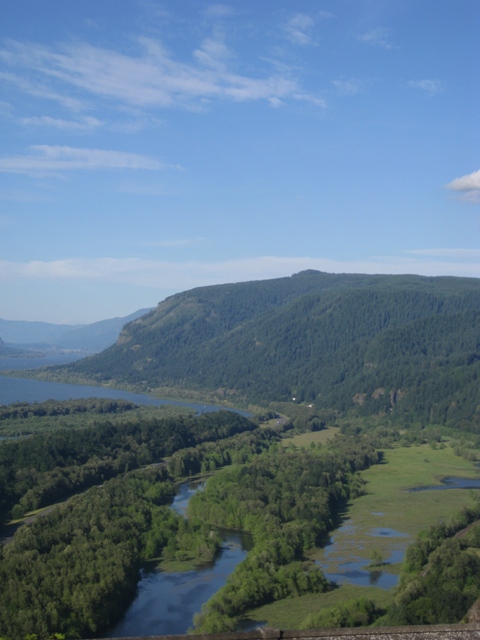
Crown Point is one of the scenic lookouts along the Historic Columbia River Highway.
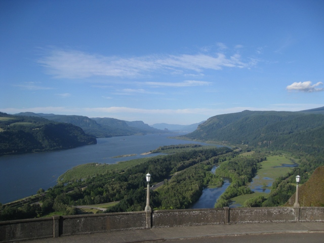
It stands 733 feet above the river and is remains of a lava flow that filled the Columbia River channel 14 million years ago.
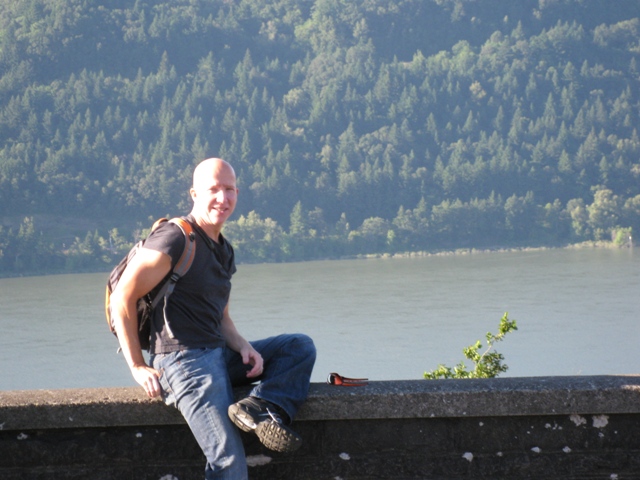
Tom at Crown Point.
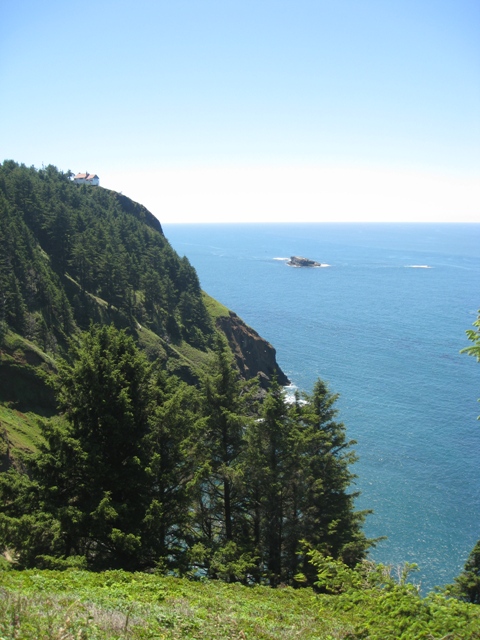
The Oregon coast stretches approximately 363 miles from the Columbia River in the north to the OregonñCalifornia state border in the south.
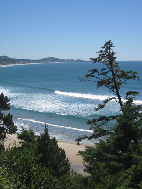
There are over 80 state parks and recreation areas along the Oregon Coast.
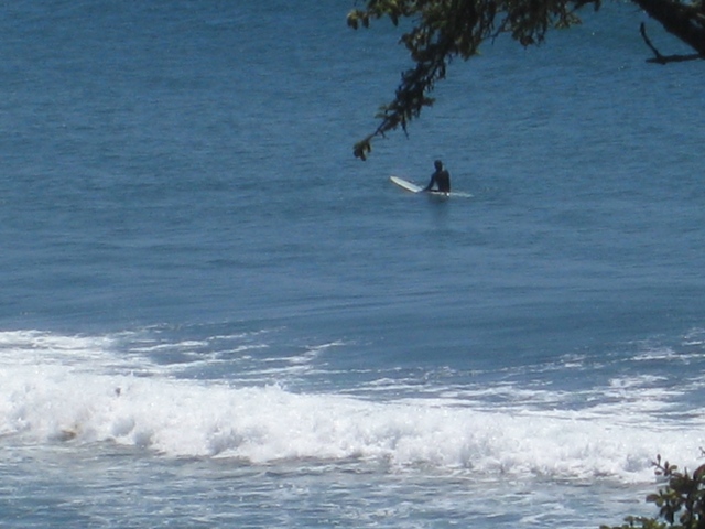
Every surfer was dressed in a full wet suit.
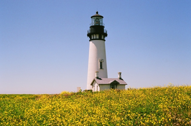
The Oregon Coast had originally 12 lighthouses, of which only five are still in use and two have been demolished. This is Yaquina Head Lighthouse, tallest on the Oregon Coast at 93 feet and can be seen from ocean vessels as far away as 19 miles. This lighthouse is the only Oregon Lighthouse with a marble floor.
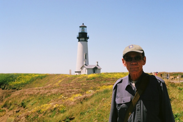
Dennis & Lighthouse.
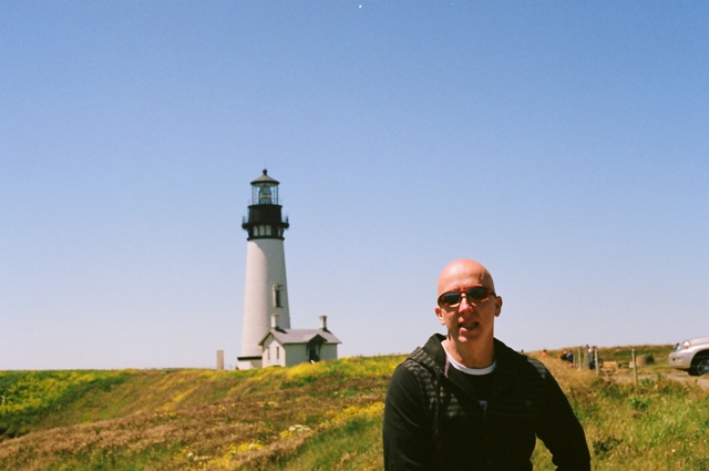
Tom & Lighthouse.
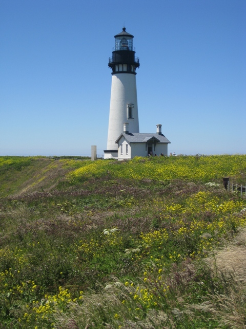
Lighthouse.
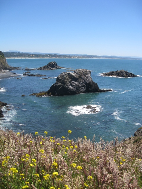
Oregon Coast.
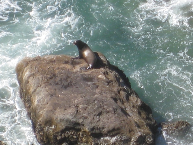
This seal was barking away at the others just lounging around.
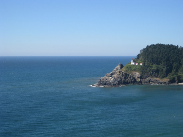
Heceta Head Lighthouse.
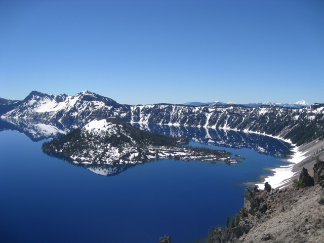
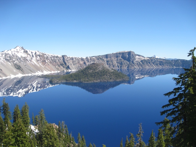
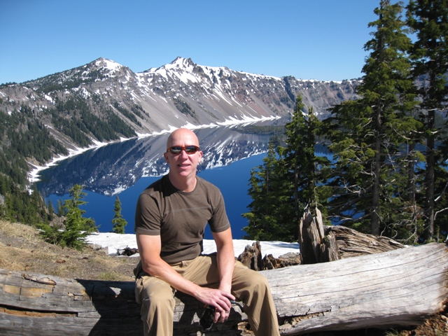
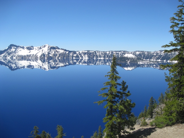
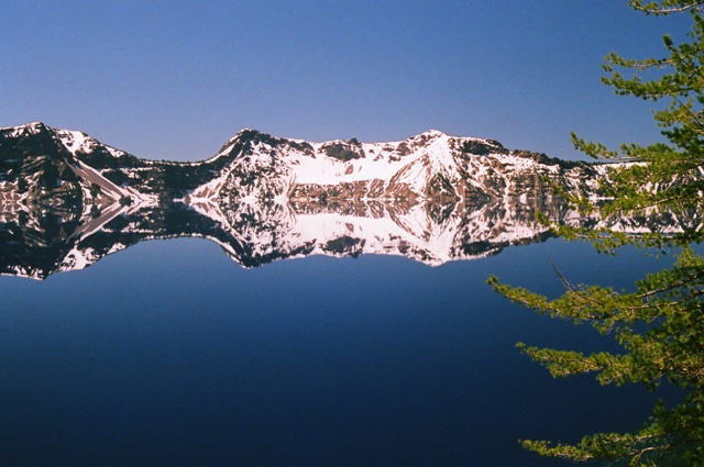
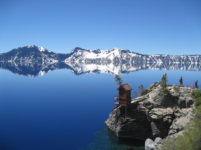
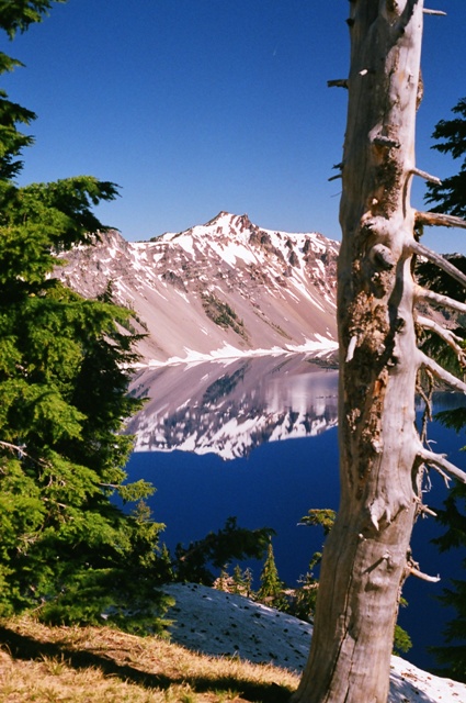
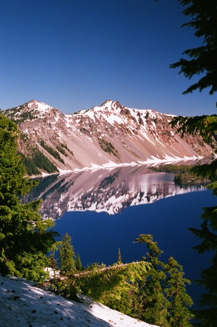
Crater Lake is amazing. The lake rests inside a caldera formed approximately 7,700 years ago when a 12,000 foot tall volcano collapsed following a major eruption.
* The deepest lake in the United States
* Fed by rain and snow, but no streams or rivers
* Considered to be the cleanest large body of water in the world
* The water is exceptional for its clarity and intense blue color
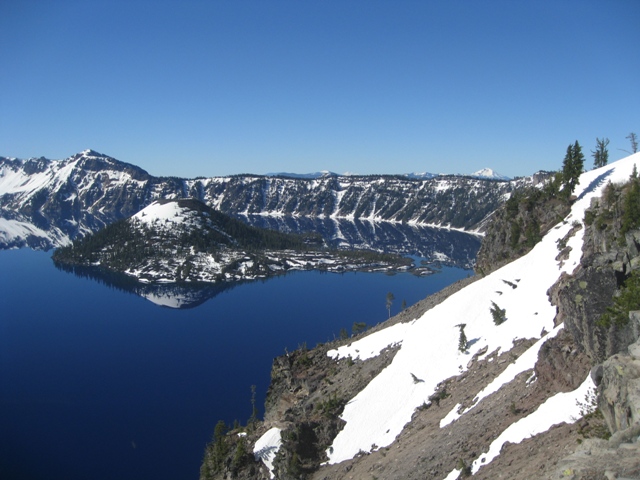
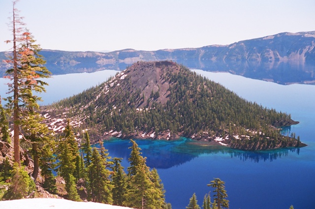
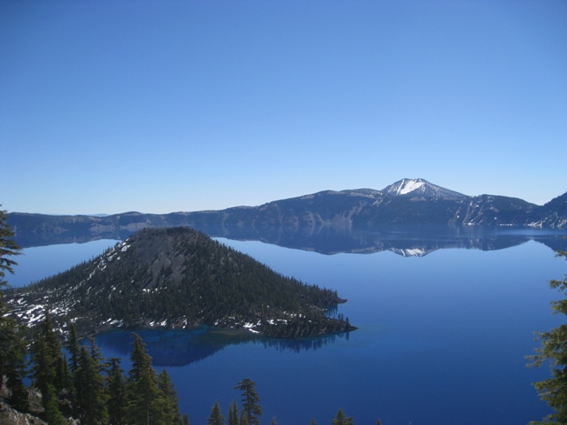
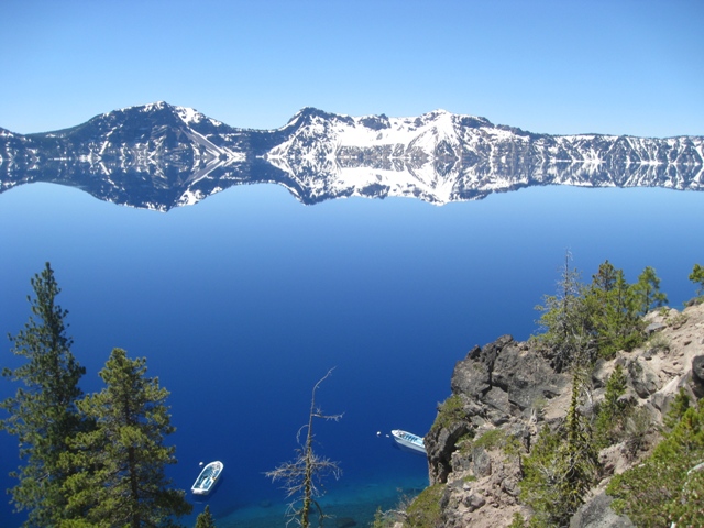
The island in the middle of Crater Lake is called Wizard Island.
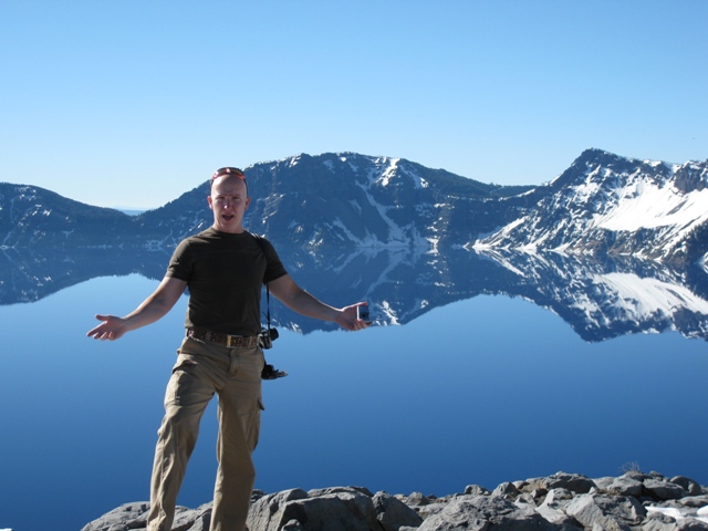
Tom at Crater Lake.
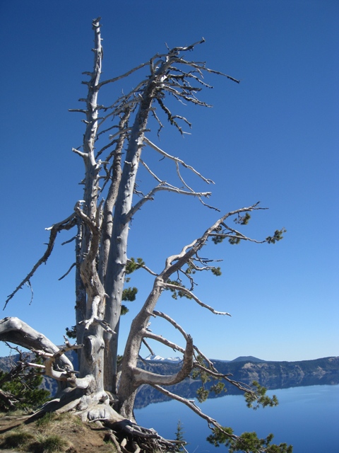
Tree with lake in background.
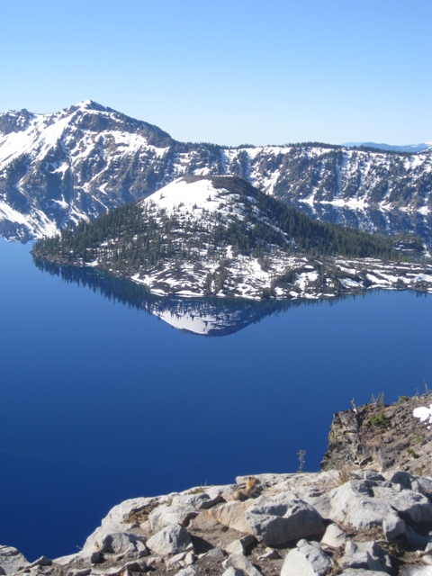
In so many of the pictures it is tough to tell where the reflection begins and the mountains end.
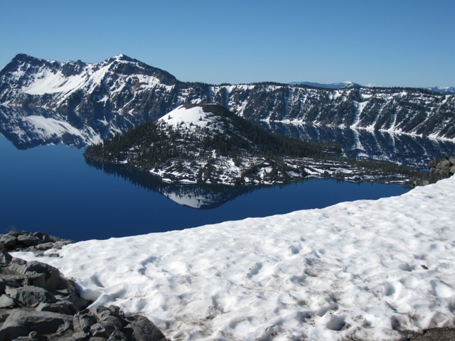
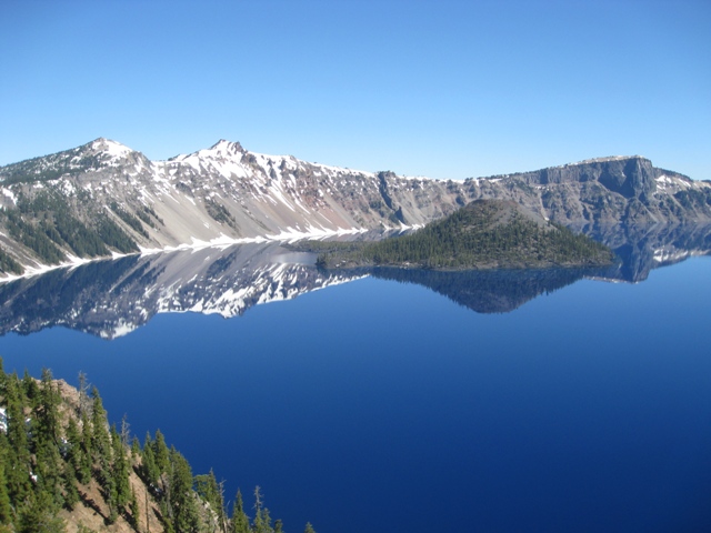
Crater Lake - the east rim road was still closed because of snow. It usually doesn't open until middle of July.
Crater Lake/Wizard Island.
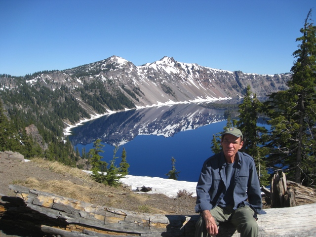
Dennis & Crater Lake.
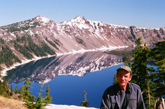
Dennis & Crater Lake.
Tom & Crater Lake.
Wizard Island - this picture shows the clarity and color of the water along the shores of Wizard Island - Truly pristine!
Wizard Island - the water color looks just like these pictures - it's amazing.
Notice the Little Feller in the bottom of the picture?
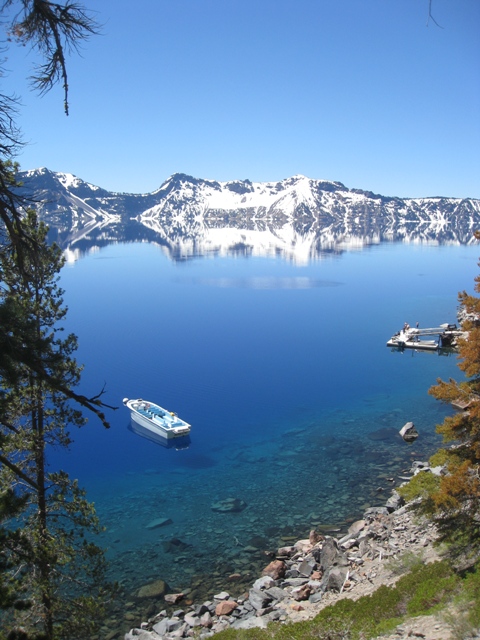
I took the hike down to the water on the north end of the island - it is the only access spot to the lake.
This picture was taken with my 35mm SLR camera - this is completely untouched, nothing has been changed or edited - this is EXACTLY how it looked - amazing!.
It's a short hike, 2.2 miles with a 700 foot decline to the lake and then back up. The views were incredible - I cannot begin to describe them - the water, the snow capped mountains, the colors...incredible!
The worst thing about the lake was the misquitos - I cannot begin to describe the number of misquitos and how they would swarm the minute I stopped walking.
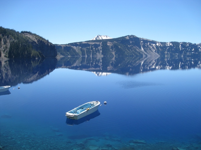
These are boats that the park operates taking people over to Wizard Island to hike the island.
Notice the boats and to the right is the dock with people on the dock...gives a little perspective of the size of the lake and mountains.
Crater Lake.
Crater Lake.
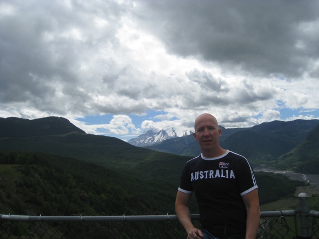
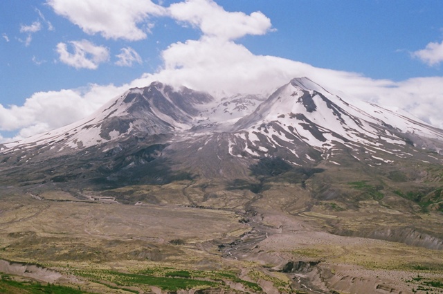
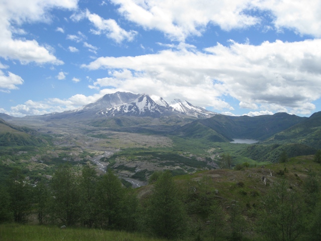
Mount St. Helens, behind me here, is most famous for its catastrophic eruption on May 18, 1980, at 8:32am which was the deadliest and most economically destructive volcanic event in the history of the United States.
Fifty-seven people were killed; 250 homes, 47 bridges, 15 miles (24 km) of railways, and 185 miles (298 km) of highway were destroyed.
The eruption caused a massive debris avalanche, reducing the elevation of the mountain's summit from 9,677 ft to 8,365 ft and replacing it with a 1 mile (1.6 km) wide horseshoe-shaped crater.
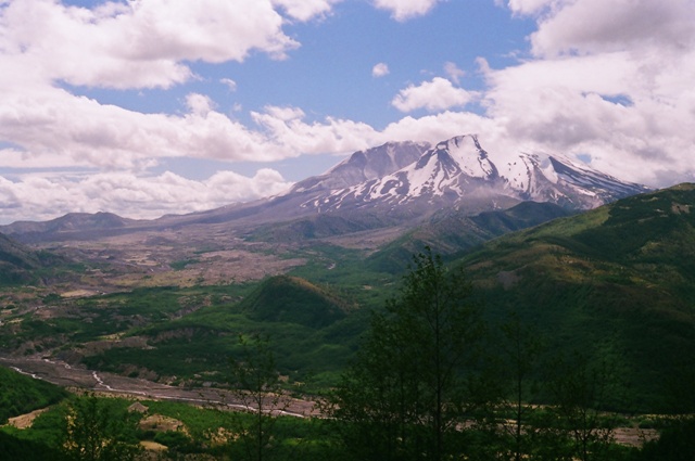
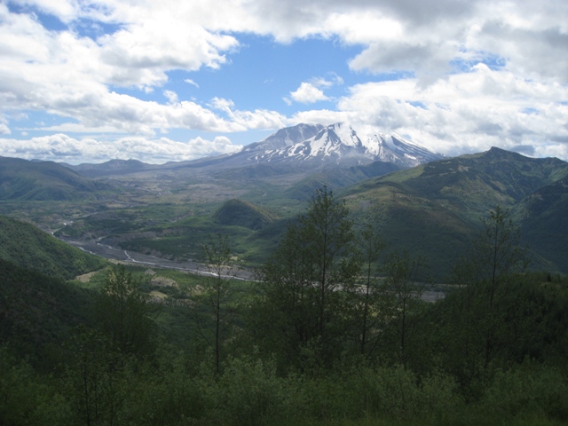
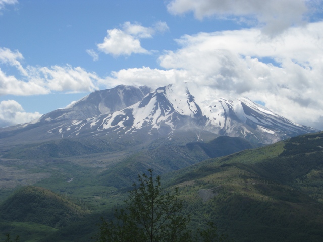
Mt St Helens.
Mt St Helens.
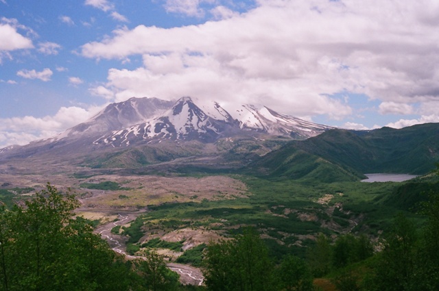
Mt St Helens & Crystal Lake.
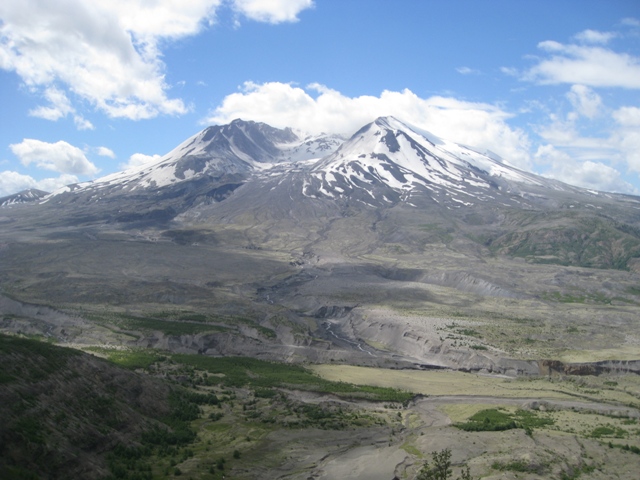
Mt St Helens.
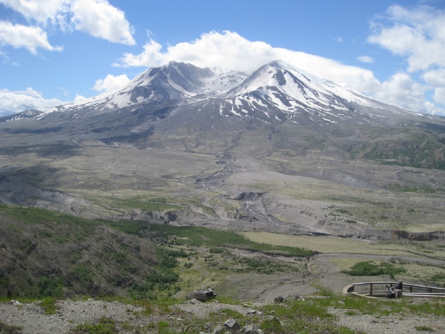
Mt St Helens.
Mt St Helens.
|